GIS
Geospatial Database
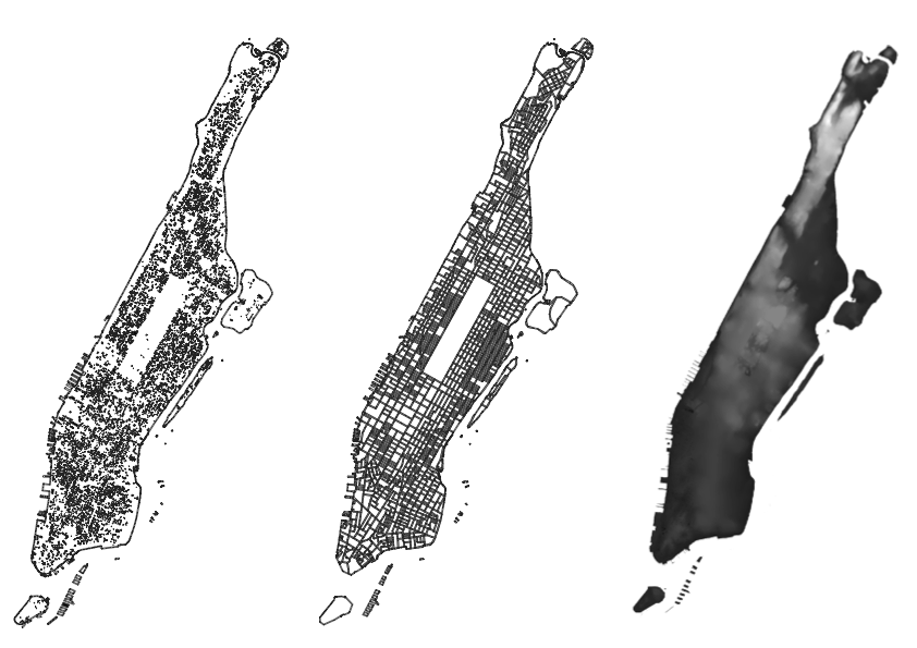
Manhattan Building Database Analysis
A geospatial database project analyzing Manhattan’s building footprints and administrative boundaries. Using QGIS and GeoPackage data, this project involved clipping building layers to boundary extents, performing spatial queries, and visualizing urban density patterns across Manhattan.
Key Aspects
- Built and managed a geospatial database of Manhattan building footprints using GeoPackage format.
- Performed spatial clipping operations to extract buildings within specific boundary zones.
- Analyzed urban density patterns and building distribution across the borough.
Tools & Methods
QGIS
GeoPackage
Spatial Queries
Database Management